


26 km | 53 km-effort


Utilisateur


Application GPS de randonnée GRATUITE
 SityTrail
IGN / Instituts géographiques
SityTrail World
Le monde est à vous
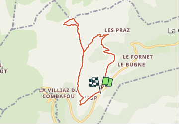
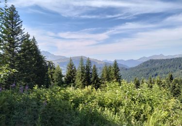
Randonnée de 8,6 km à découvrir à Auvergne-Rhône-Alpes, Haute-Savoie, La Côte-d'Arbroz. Cette randonnée est proposée par olivieraron.
Départ du Col de l'Encrenaz, marcher jusqu'au hameau "Les Paquis", puis col de la Basse, puis col Ratti, retour au col de la Basse, puis col de l'Encrenaz. Comptez 3h30 hors pause pique nuque.

Marche nordique
Marche
Marche

Marche
Marche
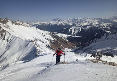
Ski de randonnée

Marche

Marche nordique
Marche